Intelligent mapping of complex terrains and infrastructure
The University of Southampton was funded by the EPSRC (EP/V035975/1) to acquire an AUV to develop intelligent mobile mapping capabilities in coastal regions for marine conservation and infrastructure inspection, developed through collaboration with Sonardyne Int. Ltd. and Voyis to integrate state-of-the art navigation and optical mapping capabilities (short article here).
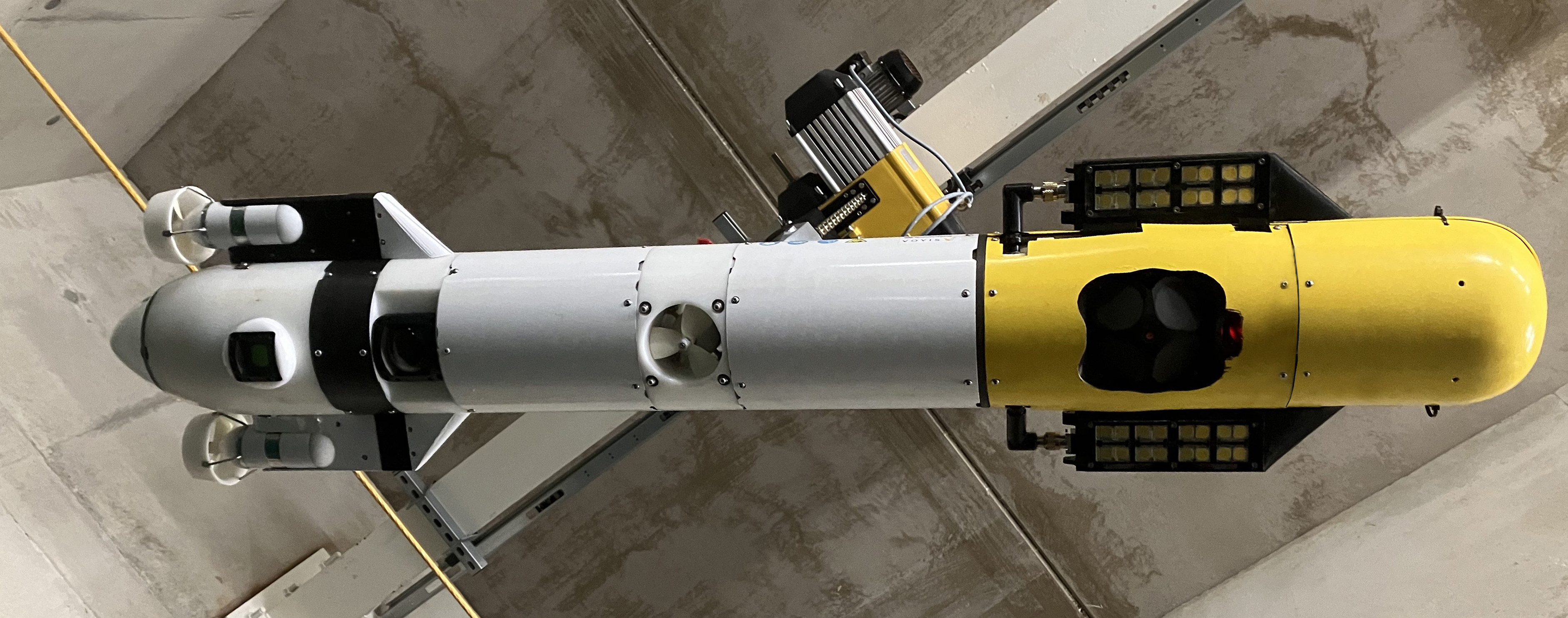
Smarty200 is a 200m depth-rated modified Sparus II AUV (Iqua robotics) equipped with seafloor imaging and laser scanning (Voyis RECON), DVL/INS (Sonardyne Sprintnav-mini), USBL (Sonardyne AVTrack Nano) and surface iridium. Platform endurance ~10h (of mapping with payloads on). Dimensions L1.8 x 0.3 x 0.3, weight 70kg. Download Specification.
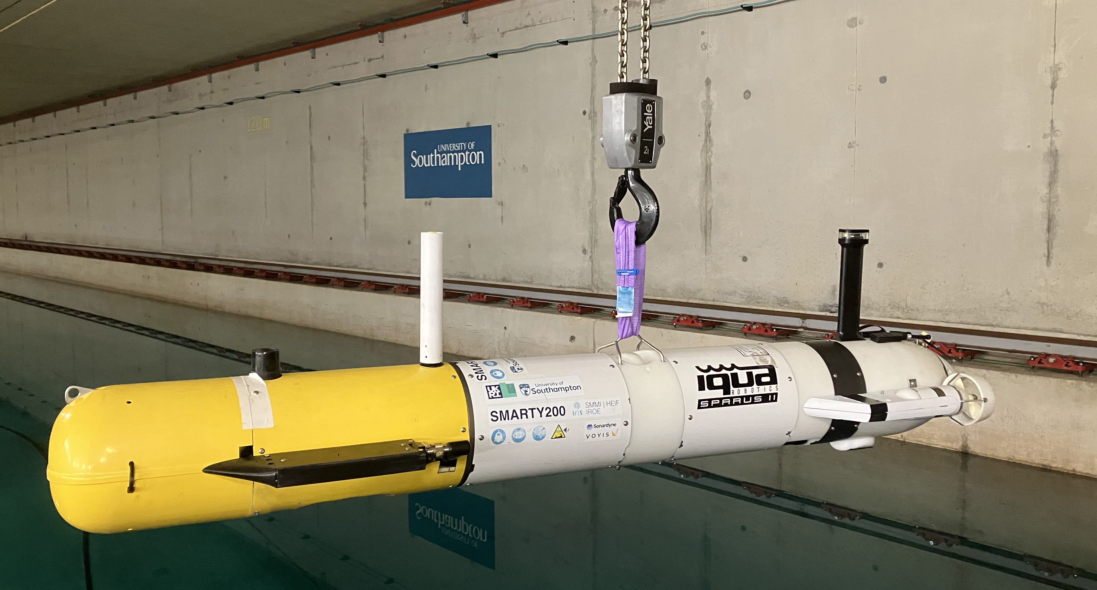
Smarty200 integrates a Sonardyne Sprintnav-mini, Avtrack-nano USBL modem, together with a Voyis laser scanner and strobed imaging unit as part of a SMMI-HEIF Knowledge Transfer Partnership for development and sharing of localisation, mapping and data interpretation algorithms. Strobes are mounted on side wings with a line laser mounted in the nose section. Cameras are mounted along the centreline in an extended aft section. This maximises the baseline to the strobes and lasers, which increases image clarity and bathymetric mapping resolution. The Sprintnav-mini DVL-INS is mounted in the nose for safe altitude keeping during forward motion, and USBL nano is also mounted in the fore section to minimise noise effects from the AUV’s thrusters. 

Surveys out in the field.

Some of the capabilities include realtime processing of images using machine learning, and the use of observations to modify vehicle plans and improve vehicle navigation on the fly.
Testing in the Boldrewood towing tank.

Payloads operating out in the field.
Ocean expeditions
- RK22-02: Survey of Studland Bay ecomoorings off the dive support vessel the Rocket (PI Massot, September 2022). See expedition page
- RK22-01: Survey of Studland Bay ecomoorings off the dive support vessel the Rocket (PI Kaseem, July 2022). See expedition page
- RK23-01: Survey of Studland Bay ecomoorings off the dive support vessel the Rocket (PI Thornton, September 2023).
- SS24-01: Survey of Cawsand Bay seafloor infrastructure off the Sound Surveyor (PI Thornton, July 2024).
- SS24-01: Survey of Cawsand Bay seafloor infrastructure off the Echo Explorer (PI Thornton, September 2024).
University partnership

![]()


Industry partners
 .
. 
![]()